

Llanfihangel Hill [Colva Hill]
Good walks are even better shared.
Overview
Overview
Llanfihangel Hill, commonly referred to as Colva Hill, is a delightful Marilyn nestled in the Brecon Beacons National Park. Standing at 382 meters, it may not have the towering height of some mountains, but what it lacks in stature, it more than makes up for in charm and scenery.
Geology
The hill's landscape reveals a rich tapestry of geological history, primarily composed of sedimentary rocks such as shale and sandstone. As you traverse this area, you'll find remnants of bygone eras where ancient seas carved the very rocks underfoot. It's a geological wonderland!
Routes
The most popular route begins at Colva and takes you through lush meadows and gentle slopes. The loop trail, measuring approximately 9.5 km, is rated as moderate and takes about 3.5 hours to complete. Just remember to pack your sense of adventure and a snack or two!
Summit Features
The summit of Llanfihangel Hill is crowned by a trig point, an essential check-in point for hikers and a lovely viewpoint for appreciating the beautiful Welsh landscape. It's also a prime location for those who delight in wildlife spotting, where patience might reward you with glimpses of various birds and perhaps even a shy deer.
Terrain and Views
Expect grassy paths interspersed with rocky outcrops – perfect for a bit of dexterity! As for the views? Prepare to be spellbound by the enchanting panorama of the Black Mountains and the storied peaks of the Brecon Beacons, which offer a backdrop that will make you wonder if you're in a painting rather than the real world.
Hazards
Keep an eye on the weather; conditions can change quicker than you can say 'What’s the forecast?' Always gauge conditions before setting out to ensure a safe and enjoyable experience.
Access
While Colva is a tiny gem, parking is limited to a roadside layby that can accommodate a few cars. Public transport is scarce, so the nearest bus service is in Abergavenny, which is a bit of a trek away.
Facilities
A visit to Llanfihangel Hill is quite the adventure; however, prepare accordingly, as you'll need to venture back to Abergavenny for any facilities – unless you bring your thermos!
History
The name 'Llanfihangel' hints at its historical significance linked to the local church acts, thus lending an air of spiritual resonance to your visit. This place isn't just a hill; it's a piece of local lore!
So, lace up your hiking boots, grab your walking sticks, and go embrace the beauty that Llanfihangel Hill has to offer. Happy hiking!
Explore routes near Llanfihangel Hill [Colva Hill]
Public walks starting within 80 km of this hill. Nearby does not mean a route reaches the summit; check its map and access before setting out.
Croft Castle: Fishpool Valley and the Gothic pumphouse
View route
Elan Valley: Reservoir Trail to Pen y Garreg Dam
View route
Capturing the Landscape: Art & Walking at Llanthony Priory
View route
Brecon Basin to Brynich Aqueduct: Canal Towpath Walk
View route
Route planning notes
These notes describe possible approaches, not verified navigable routes or permission to cross land. Check current paths, local access rules and conditions before setting out.
Colva to Llanfihangel Hill Loop
A scenic circular route starting from the village of Colva, offering picturesque views of the surrounding hills and valleys.
Make a day of it, together
Find someone to share the walk with, or organise a day out along a route you like.
Photo Gallery
View all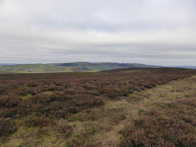 Photo could not load
SO1955 : The hills of Radnor Forest area viewed from Colva Hill
Jeremy Bolwell
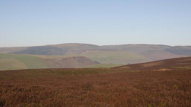 Photo could not load
SO1955 : A Radnor Forest view
Richard Webb
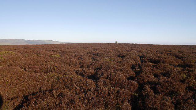 Photo could not load
SO1955 : Colva Hill / Llanfihangel Hill triangulation pillar
Richard Webb
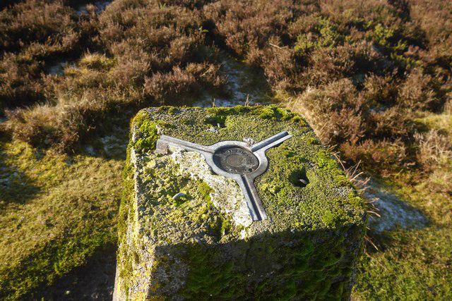 Photo could not load
SO1955 : Colva trig point
Richard Webb
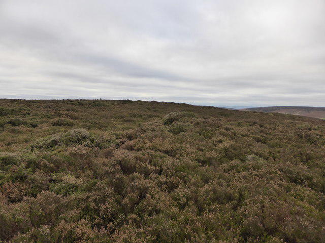 Photo could not load
SO1955 : Approaching the trig point on Colva Hill
Jeremy Bolwell
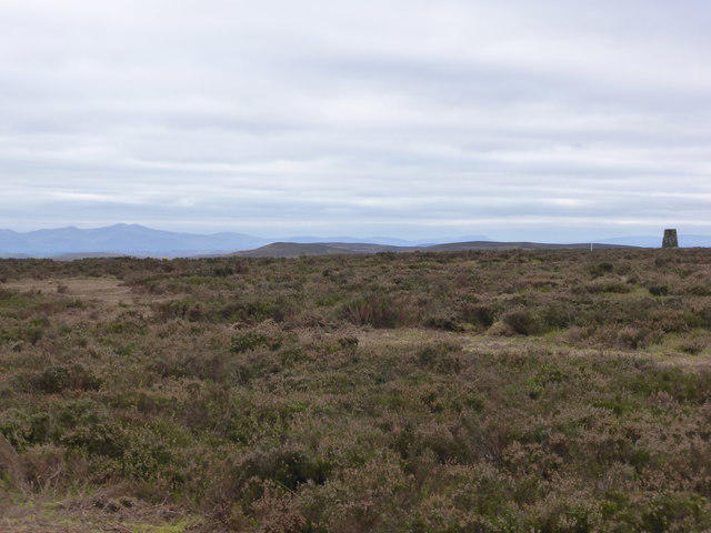 Photo could not load
SO1955 : The Brecon Beacons viewed from Colva Hill summit in Radnorshire
Jeremy Bolwell
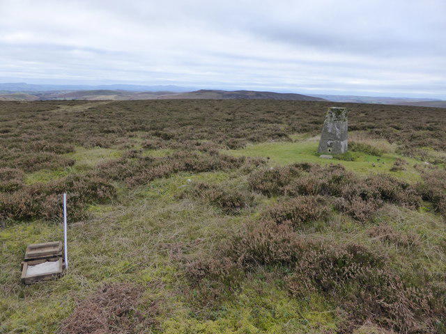 Photo could not load
SO1955 : At the summit of Colva Hill, Radnorshire
Jeremy Bolwell
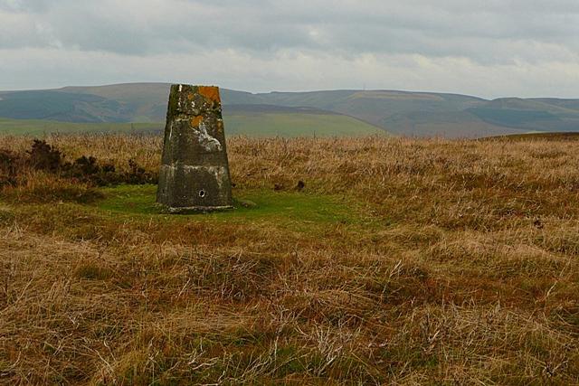 Photo could not load
SO1955 : Trig Point at 532 metres
Graham Horn
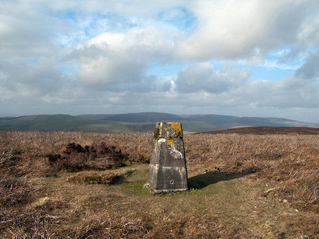 Photo could not load
SO1955 : Trig point at summit of Llanfihangel Hill
Trevor Littlewood
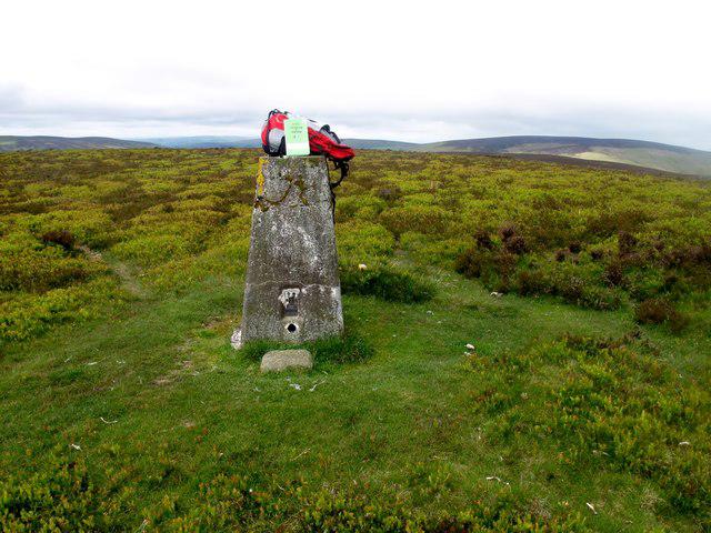
SO1955 : Llanfihangel Hill [Colva Hill]
Rude Health
Hill facts and local notes
Classifications
Elevation
532m
1,746 ft
Prominence
145m
Coordinates
52.1909, -3.1798
SO194553
OS Map
148
Explorer: 200E
At the Summit
The summit boasts a well-marked trig point, an enticing spot for a quick selfie or a deep contemplative pose. Surrounded by heather and low shrubs, it's a perfect perch for spotting local wildlife.
Terrain & Geology
Llanfihangel Hill is predominantly composed of sedimentary rocks, including shale and sandstone. The area features fascinating geological formations that tell a story of ancient seas and landscapes.
Views & Scenery
From the summit, one can delight in views of the Black Mountains, the rugged peaks of the Brecon Beacons, and on clear days, even as far as the Malvern Hills.
History & Heritage
Name Origin
Llanfihangel translates from Welsh to 'St. Michael's Church,' referencing the historic church in the locality.
Historical Significance
The hill has long been a part of local tales and folklore, marking a spiritual site for centuries.
Getting There & Facilities
Check current local access restrictions, parking rules and transport timetables before travelling. These notes do not confirm public access to the summit.
Parking
There is a small roadside layby along the A465 near Colva, suitable for several cars.
Public Transport
Limited public transport options; the nearest bus service is in the town of Abergavenny, requiring a taxi or long walk to reach the starting point.
Nearby Facilities
The village has no dedicated facilities, however, nearby Abergavenny boasts cafes, shops, and public toilets.
Safety Information
Known Hazards
- Be wary of sudden weather changes; conditions can shift rapidly in this region.
General Safety Tips
- Check weather conditions before setting out
- Carry appropriate clothing and equipment
- Let someone know your planned route
- Take a map, compass, and GPS device
- Carry emergency supplies: food, water, first aid kit, torch
Hills
Some common questions about the hills answered
Are there group walks up Llanfihangel Hill [Colva Hill]?
Many walkers use Walkmates to join or organise walks with others. You can check for group walks around Llanfihangel Hill [Colva Hill] through the maps
Are there other walkers around Llanfihangel Hill [Colva Hill]?
Activity varies by location and time, but Walkmates lets you see whether others have shared walks or shown interest in this area. Find other people through the walking friends search walking friends for Llanfihangel Hill [Colva Hill] search or of course create your own walk for Llanfihangel Hill [Colva Hill]
Can I organise a walk to Llanfihangel Hill [Colva Hill]?
Yes. If there aren’t any walks listed already, you can create a walk and make it available for others to join.
If you're signed up to Walkmates, you can create a walk to Llanfihangel Hill [Colva Hill].
How do I find a walk up this hill?
There are often multiple ways to walk this hill, depending on experience and route preference. Walkmates helps you explore walks and routes that others have shared.
Can I suggest a new route up Llanfihangel Hill [Colva Hill]?
Yes. You can suggest or create routes to share with others. Walkmates focuses on the social side of walking, so routes are used to help people organise walks and explore areas together, rather than as detailed navigation tools or route libraries.
Other uses really appreciate knowledgeable walkers sharing their routes. Share your favourite route to Llanfihangel Hill [Colva Hill] here
The is an error or something incorrect about this hill. How do I let you know?
We always strive to keep the information on Walkmates as accurate as possible. If you find an error, please let us know through the contact form and we'll aim to correct it as quickly as possible
Community Discussion
Comments
Location
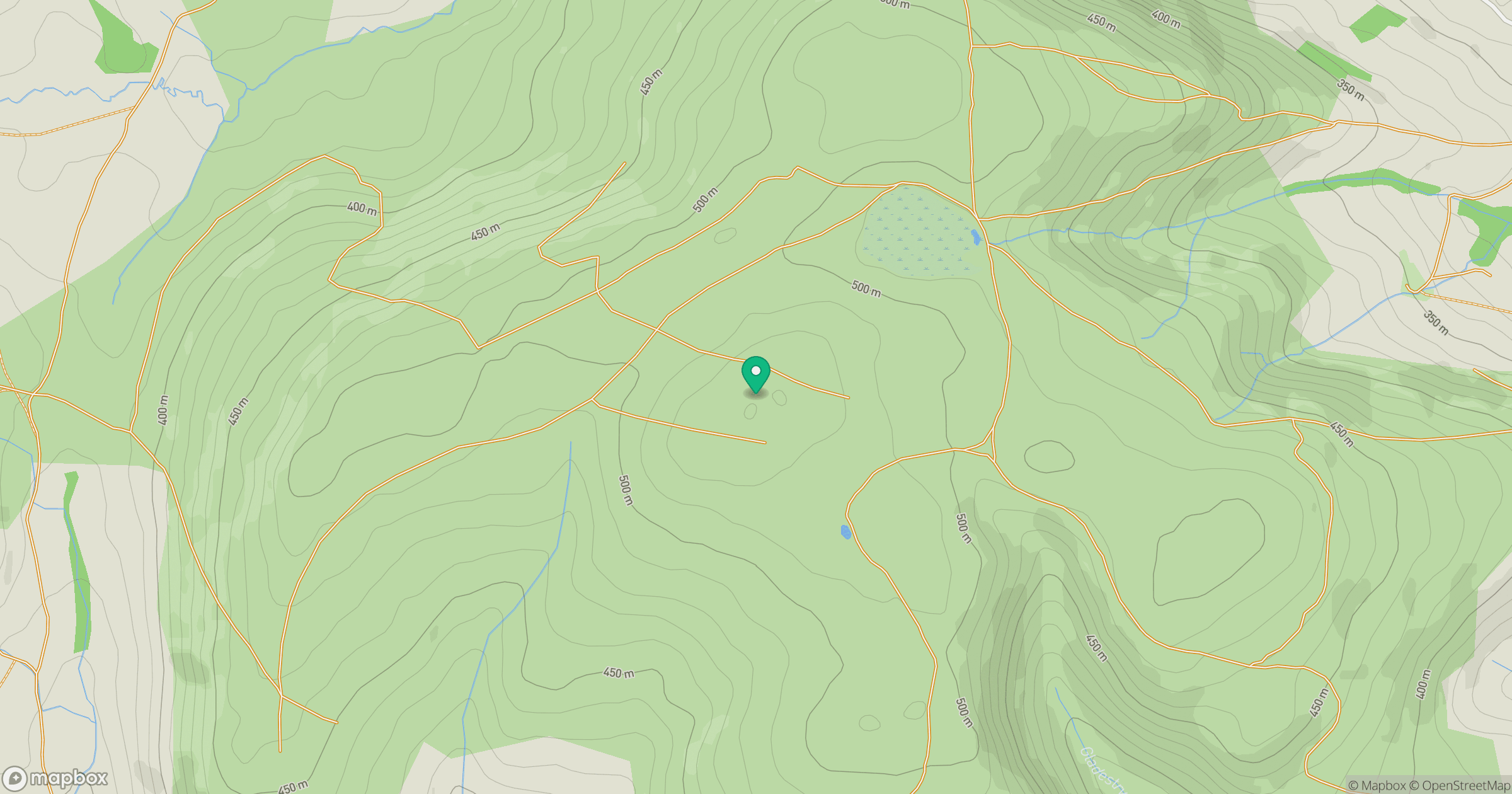
Grid reference: SO194553
View on OpenStreetMapOpens a map in a new tab, centred on the hill.
Hills within 30 km
Straight-line distance, not a walking route or confirmation of access.
No comments yet. Be the first.